|
TO RAISE WE RISE
Monday, 20th October 2014 |
It's Raise Today
On our final day in Patterdale we were keen to do a high level walk and had Helvellyn in our sights. From Glenridding we ascended the valley to the Helvellyn YHA and the neighbouring hostel. The workings of the neighbouring Greenside Lead Mine, which closed in 1960, were still much in evidence. After an interesting ascent to what could be described as a high level but protected plateau, we eventually made it to Sticks Pass which was already in the clouds. On through the clouds, wind and rain, to Raise we went but eschewed our original plan of getting to Helvellyn. So Raise, at 883 m was thus the highest point we reached on our Patterdale visit. After reaching the Whiteside bank at 863 m we made our way out of the clouds along a well laid out track to get back to the old Greenside Mine and the two hostels. From here we rejoined our morning path to return to Patterdale. Our walk was ably led and navigated by John B., to whom many thanks!
Up To The Old Mine and Onwards
Greenside Lead Mine had closed in 1960, but its workings were still much in evidence. There was a reasonable road up from Glenridding up to the mine beccause close by there were two hostels, one a YHA. From here, the paths divided, and we took the steeper - and probably the more scenic - right hand option to Sticks Pass via a lively mountain stream and a high, but sheltered, plateau. Later in the afternoon, we would be descending on the left hand path.
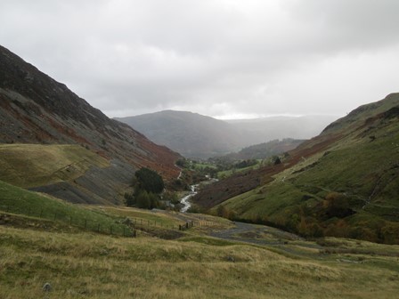
On our ascent above the old Greenside Mine, we had a good view down the Glenridding valley towards the seemingly - hereabouts - ever present Place Fell, which we had ascended two days ago.
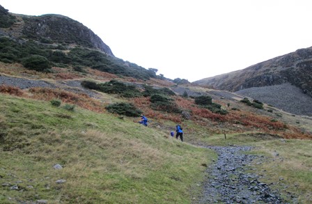
The path zig-zags upwards to gain height, and ...
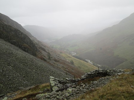
... the reward is this, already a tad cloudy but impressive, view from a higher point down the Glenridding valley.
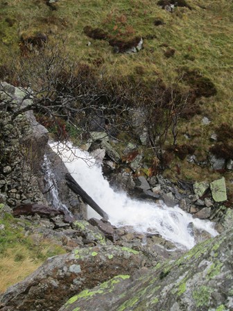
Just before we reach our high level plateau, this lively mountain stream greets us, ...
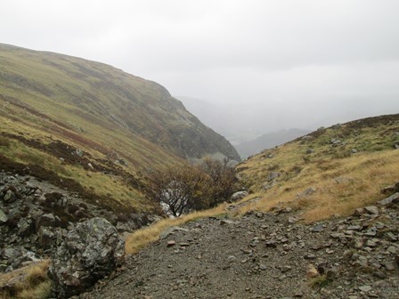
... gushing forth within the protection of a fold in the landscape.
Raise - The Summit
From the plateau, a path led us to Sticks Pass - already in the clouds. Just before Sticks Pass, a stray sheep attracted the attention of Bertha. From the Pass, a possible path leads to the Windermere to Keswick Road and to Thirlmere - not today for we wanted to get back to Patterdale! Along the path to Raise was a small, harmless-looking, bog into which, - underestimating the amount of bogginess - I duly stepped, luckily without too much incident other than some wet boots! However, this happening highlighted how careful one must be in the mountains - especially in inclement weather conditions. Eventually we got to Raise, our highest point on our four day Patterdale visit. After that it was a windy, rainy and cloudy ridge walk to Whiteside Bank. We decided, albeit reluctantly, that we should give Helvellyn a miss this time. So, from Whiteside Bank, John B. navigated us off onto the well defined path back to the old Greenside Mine and the two hostels. Had it not been for careful navigation we might have missed our path, although it started barely a few metres from where we were standing. How easy it is to get lost in limited visibility without map and compass! There's a definite moral here, a moral which should never be understated!
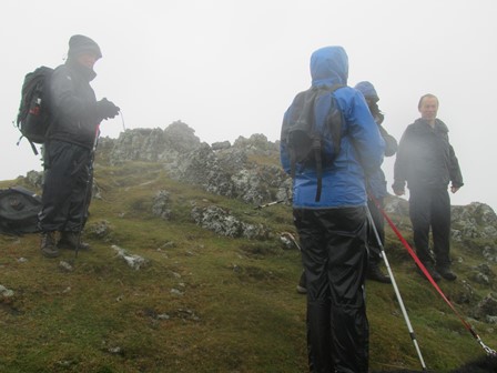
We have reached Raise at 883 m. We decide to descend by the nearest route. My camera is showing some signs of condensation in its optics - this is an indication of cold and damp conditions, an effect which soon clears as conditions improve.
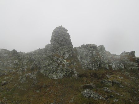
Here is the actual summit cairn around which we were standing.
No Dissent - It's the Descent
We decided that we should get out of the clouds to a lower level with improved visibilty. We thus proceeded to near Whiteside Bank. From here, John B. navigated us onto a path which was close by but not immediately visible in the clouds. The straight-forward nature of the path was welcome in the present weather. Visibility improved immediately we were on the path, which led us back to the two hostels and the Greenside Mine.
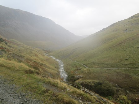
The way from the ridge to the Greenside Mine was in good visibility.
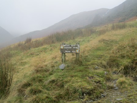
We reach the junction where, in the morning, we had taken the right hand fork leading upwards.
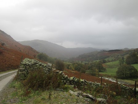
From the mine and the two hostels, it's a scenic and straight forward walk down to Glenridding,
via the "Traveller's Rest" (FHR=4) which some of us visited
before walking back to our Patterdale Hostel.
At Lake Level
Being keen to remove my wet boots, I proceeded back to our hostel with reasonable rapidity, but not before taking a few more pictures of scenes and buildings on the way. Minimal delay, but hopefully some interesting "piccies" at lake level. In the evening, the "White Lion" was the place to be for some. For me, a warm shower and an early meal at the hostel was just the ticket.
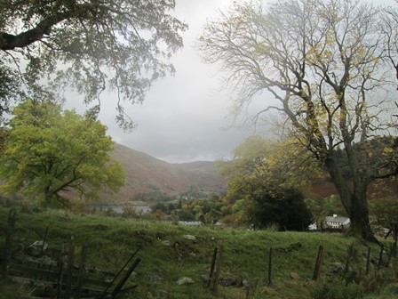
On the Glenridding to Patterdale Road, I managed to get
this autumnal view across to Boredale Hause ...
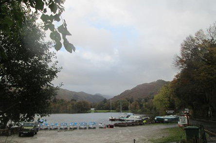
... and this view towards the southern, Patterdale, end of Ullswater.
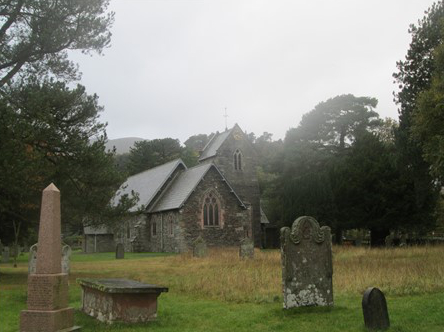
Saint Patrick is the patron side of Patterdale as well as of his more usually known Ireland. It is to him that this interesting church, consecrated in 1853, is dedicated.
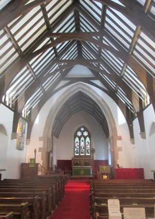
There are some much lauded aspects to this church, including its Victorian oak altar. The church serves both Anglicans and Methodists.
Contact, Copyright & Please Read Me!
Please click here for more general logistical and copyright considerations relating to this page and other pages on this web site. Thank you!
